Photogrammetry has quickly positioned itself as one of the most useful and powerful modeling tools available. It has become a core technology in many industries, including virtual reality, video game development, medical science, and architecture. Another sector in which it has made notable inroads is in surveying.
For those of you unfamiliar with photogrammetry, it’s the science of taking image inputs and measuring the objects contained within, their attributes, and their position relative to one another. It allows you to create 3D models of an environment from which a variety of other useful information can be gleaned.
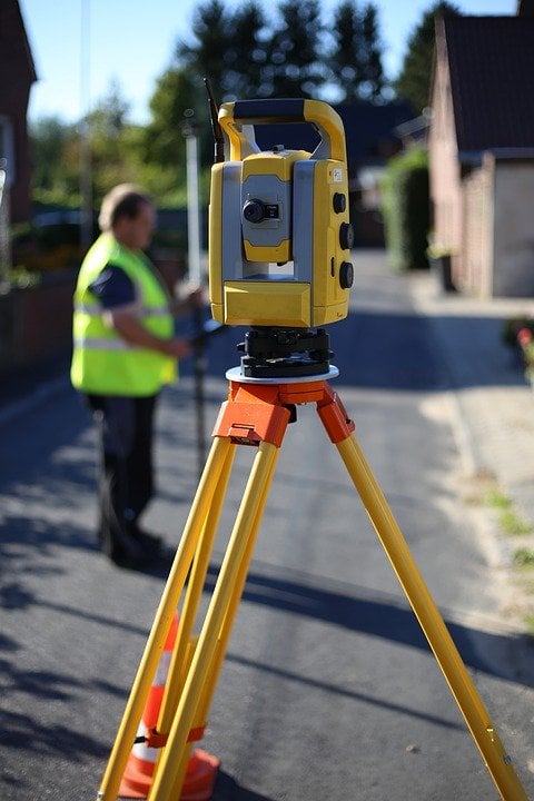
Photogrammetry essentially boils down to three main components: image control, image acquisition, and product compilation.
The first part is image acquisition, which is where you obtain the raw data. This includes planning the flight over the relevant location, choosing the camera system you will use for image capture, reviewing and annotating the captured images, and scanning images.
Next up is the image control portion, which includes selecting areas for targeting and ground control, area surveying control details, and aerial triangulation.
Product compilation is where you generate the finished data. Orthophotos, topographic maps, monoscopic updates, and other necessary products of the collected data fall under this step.
Photogrammetry provides several benefits over traditional surveying and mapping methods. Let’s look at some of the most important and useful, such as…
Permanent Photographic Records
When used to capture aerial photographs, photogrammetry creates a permanent record of the exact conditions at the time the image was captured. This means that, instead of just being a visual record, it’s also an accurate and measured one.
Simplifies Re-Surveying Work
In situations where certain necessary information wasn't recorded during the initial survey, photogrammetry makes it simpler and quicker to fill in the missing data. Instead of sending a team back out to re-survey the location, the images can be re-analyzed to get new information.
Simplifies Surveying Of Difficult To Access Areas
There will be situations where you need to perform a survey in locations that are difficult to access, unsafe, or otherwise difficult to conduct an on-site survey. Photogrammetry makes it much easier to capture this information or measure height from photo without risking the safety of the survey team.
Aerial Imagery Is Useful For Public Consumption
Many government agencies use aerial photography to share information with the public. Depending on the agency and purpose, aerial images captured through photogrammetry can be useful for recreational, informational, transportation, or other uses.
Survey Roads Without Disrupting Traffic
Road surveys can be challenging to do without closing lanes or doing other things that will disrupt traffic. The safety of your survey team has to be paramount, and photogrammetry can capture the needed information from a distance without having to go into the field to do it.
--
Surveying is a complex process that requires a lot of attention to detail. Photogrammetry is an amazingly helpful tool that makes surveying a much faster and simpler operation. With a solid understanding of the three main components of photogrammetry in surveying, you can create more useful and accurate data sets than ever.